Reicat:Arrowsmith - Chart of the world (1790)
Da GuidaSBN.
Home > Reicat:Arrowsmith - Chart of the world (1790)
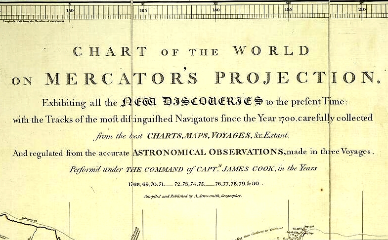
Arrowsmith - Chart of the world (1790)Arrowsmith, Aaron Chart of the world on Mercator's projection : exhibiting all the new discoveries to the present time, with the tracks of the most distinguished navigators since the year 1700 ... : and regulated from the accurate astronomical observations, made in three voyages, perform'd under the command of capt.n James Cook, in the years 1768, 69, 70, 71, 72, 73, 74, 75, 76, 77, 78, 79 and 80 / compiled and published by A. Arrowsmith. - [Scala circa 1:22 000 000]. - London : A. Arrowsmith , 1790. - 1 carta geografica in 6 fogli : limiti color., montata su tela a stacchi ; 64x84 cm o meno ciascun foglio + 1 tabella (18x203 cm)[1] t.u. Chart of the world on Mercator's projection
|
- Il titolo di questa voce non è corretto per via delle caratteristiche del software MediaWiki. Il titolo corretto è Regole italiane di catalogazione: esempi.
- ↑ Scheda desunta da cataloghi


